

Our featured
Technology Consulting Projects
Over the years, we’ve helped clients navigate everything from assessment and remediation to permitting and monitoring, and from mine land reclamation to wildfire risk mitigation, and beyond. What sets us apart is our dedication to understanding the specifics of each project—and strategically applying our technical expertise. Our work is guided by a simple principle: leave it better than you found it.

Our featured technical articles
Delve in with us
We’re a team of technical experts, engineers, and scientists with decades of experience helping clients navigate complex challenges. Delve is where we dig into the latest regulatory and technical updates specific to your industry so you don’t have to.
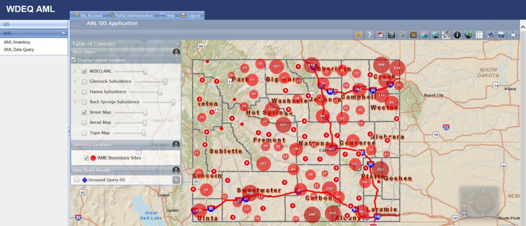
Mining | Mine Reclamation | Technology Consulting
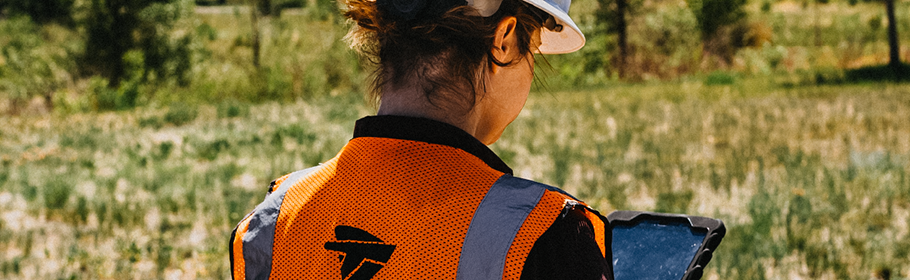
AML Programs: Putting Technology to Work
Read More about AML Programs: Putting Technology to Work
Oil and Gas | Industrial and Chemical | Mining | Technology Consulting
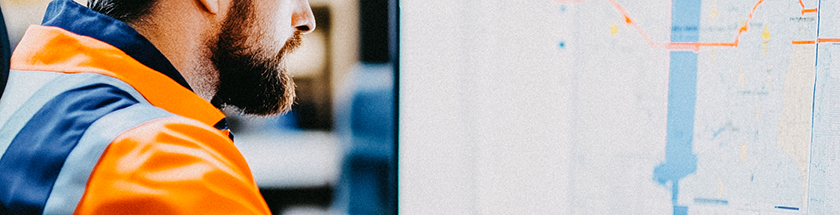
Top 5 Considerations for Moving your Environmental Data from Paper to Digital
Read More about Top 5 Considerations for Moving your Environmental Data from Paper to Digital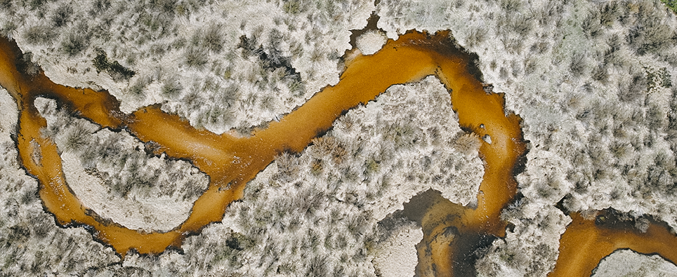
Mining | Mine Reclamation | Technology Consulting
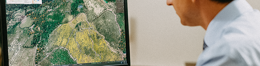
Making Sense of When to Leverage Remote Sensing
Read More about Making Sense of When to Leverage Remote SensingContact me to get started